


Inspiring winter hikes in Central Oregon
December 26, 2023
10 minute read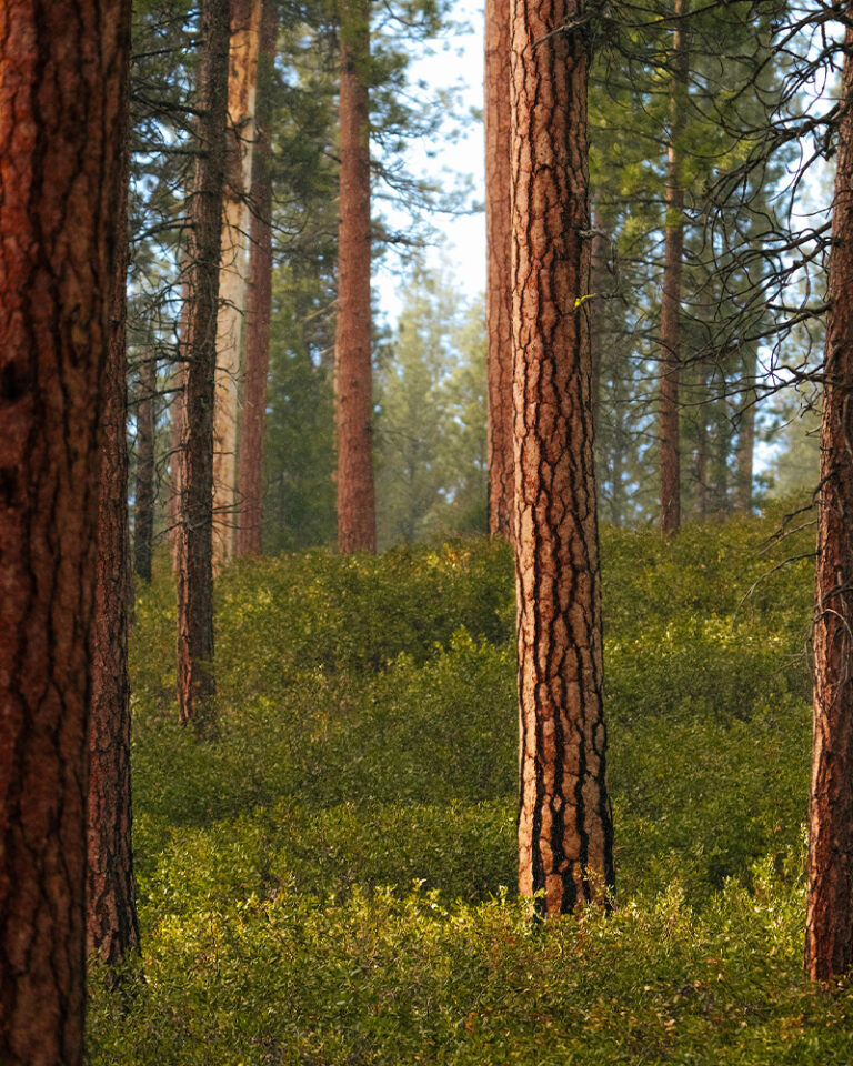
Since the year I moved to Bend in ‘97, I’ve gone hiking every chance I get. You’d think after spending more than half my life here (not to mention childhood summers with grandparents in Redmond) I’d eventually run out of new hikes in Central Oregon.
You’d be wrong.
I’ll turn 50 this year, so 2024 seemed like a fine time to set out and find new-to-me hikes. Trails a bit off the beaten track that aren’t on everyone’s radar, but still showcase the magic of our high desert paradise. Looking for new hiking trails in and around Bend, Oregon? Here are five worth exploring.
Stick to marked trails. That way you won’t stomp on fragile plants or forge new paths that confuse fellow hikers or wildlife.
Take only photos. Leave plants, trees, rocks, historical items, wildlife, fairies, and trolls where you found them.
Pack it in, pack it out. Don’t leave any picnic fixins behind, including fruit peels and nut shells. Yep, even that gum wrapper goes in your pocket or pack.
Bring reusable water bottles. Bonus points if yours is adorned with Leave No Trace stickers. Need some? Stop by the Bend Visitor Center for a free set!
Read up on Leave No Trace practices. You’ll find more great tips here!
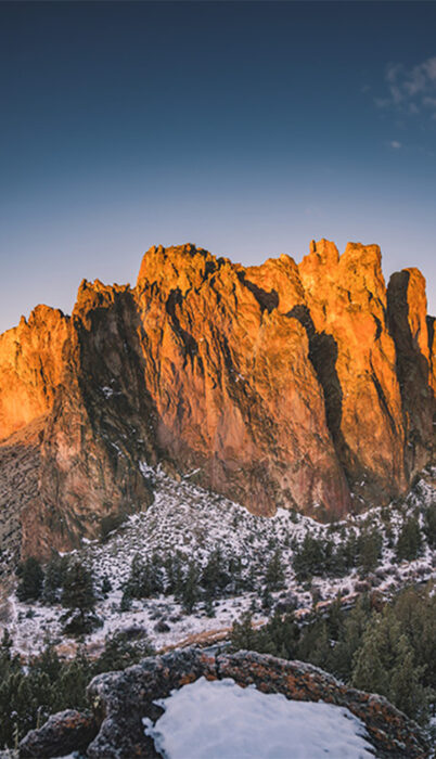
The 29,000-acre Oregon Badlands Wilderness has long been my happy place, and I’ve wanted to see more of it. Thanks to a project by the Oregon Natural Desert Association and Visit Bend’s own Bend Sustainability Fund, I got to do just that this past March.
The Nighthawk Trail starts at Reynolds Pond and offers miles of ancient junipers, stunning lava formations, and spellbinding high desert landscapes. It’s a 6.1-mile out-and-back trail, and can I just say I hate that description? Because there’s always this moment when I wonder, “wait, is it 6.1 miles in and another 6.1 miles back out?” To answer the question, no. It’s roughly 3 miles to reach the well-marked Tumulus Trail, and there you’ve got a choice. Turn around and go back the way you came, or turn it into a loop by following the Tumulus Trail to the canal and hike that road back to the starting point at Reynolds Pond. Your call!
The new signage out here makes it easy to find your way, unless you’re distracted by the striking beauty of towering lava rock against stark blue sky and you wander off trail and bonk your head on a juniper. Hypothetically speaking.
Like all desert trails, it can be dusty and hot without much shade. That makes it perfect for fall, winter, and spring when we’re all itching for lower-elevation hikes. Since it’s relatively flat, it’s a great hike for folks who don’t dig elevation gain.
Spring brings tiny wildflowers and desert critters scurrying about. Bring plenty of water, or if you’re like me and my husband, a picnic lunch and a blanket you don’t mind getting dirty.
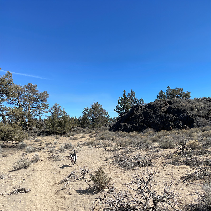
Dogs are allowed, and can be off leash once you’re 500 feet from the trailhead, as long as you pick up after them. I also have it on good authority they’d like the leftover cheese from your picnic, thankyouverymuch.
One of three Oregon State Parks to make it on this list, La Pine State Park makes the perfect starting point for this 4.4 mile loop trail featuring dense forest, lovely river views, peek-a-boo Cascade Mountain glimpses, a small waterfall, and lots of woodsy splendor.
We tackled this trail in early January right before snow hit, and found the path mostly bare with a few patches of ice. It’s an excellent spot to explore in fall and early winter or before summer’s heat and crowds close in.
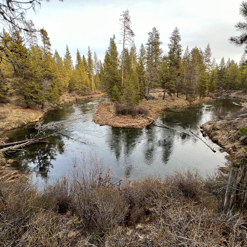
The trails out here are well marked with plenty of signage to get you where you’re going. Start near the McGregor Memorial Viewpoint, which has ample parking and a nice big sign you can photograph and refer to between signs if you want to gauge where you’re at mid-hike. You’ll enjoy both Deschutes River and Fall River views, and it’s fun to study the difference between them.
Midway through, don’t miss the little offshoot to a small but picturesque waterfall, which makes a great spot to stop for a snack. Dogs should be on leash, and you should be on alert for your next great fishing spot, since there are lots to be found along this trail.
The Fall River Loop is relatively flat, making it another great pick for folks who don’t do well with hills and steep terrain.
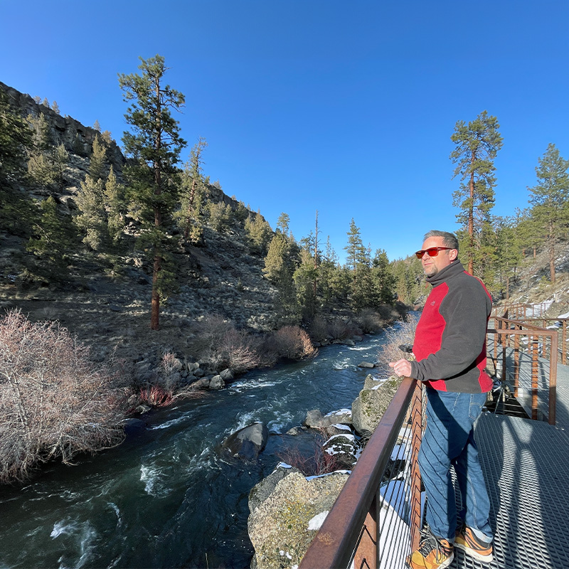
Tumalo State Park holds a special spot in my heart, since I got hitched there ten years ago. Back then, there was no trail leading upstream along the Deschutes River all the way to Riley Ranch Nature Preserve. That’s because there’s a big freakin’ boulder field you couldn’t safely clamber over.
But thanks to a nifty new(ish) grated boardwalk, it’s possible to hike from the southern end of Tumalo State Park following the scenic Deschutes 1.4 miles to Riley Ranch Nature Preserve. Note that I’m not suggesting the reverse hike starting at Riley Ranch, and that’s not because it isn’t do-able (it totally is!) It’s because dogs are forbidden in the nature preserve, but starting at Tumalo State Park lets you stop and turn around when you hit the signs at Riley Ranch. If you’re hiking without pups, feel free to flip the script.
The high canyon walls keep this scenic stretch of river fairly shaded, so microspikes are a good idea if it’s icy. We didn’t need them for our early March hike, though the trail’s a different beast after snowfall. In summer it’s apt to be crowded, so this hike is another great pick during shoulder season.
Pro tip: You’ll need an Oregon State Parks pass or a day pass you can purchase at the kiosk when you enter. And despite the similar name, Tumalo State Park is not near Tumalo Falls, which is roughly 45 minutes southeast.
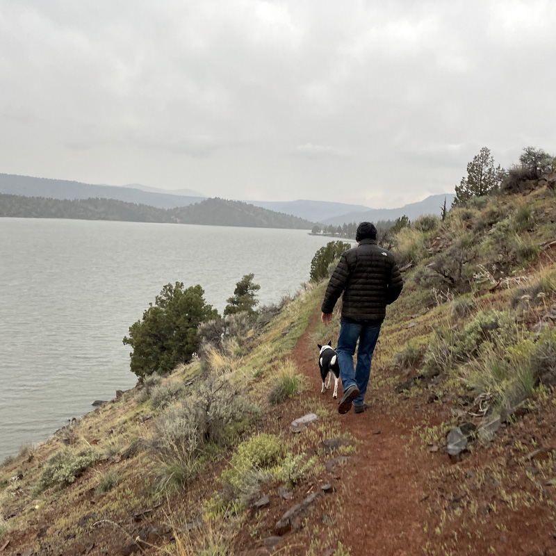
About 45 minutes from Bend, you’ll find Prineville Reservoir State Park and all the jaw-dropping beauty of this rugged canyon. Cool mountain streams flowing from the Ochoco Mountains join together to form the Crooked River. That river—confined by the canyon and the Bowman Dam—forms the 3,000-acre Prineville Reservoir.
It’s an epic spot for stargazing, as a designated Dark Sky Sanctuary, and it’s also home to my favorite new hike. Starting at the Prineville Reservoir State Park campground, you follow the trail leading along a slope of juniper and sagebrush. You’ll travel gullies and hills spanning rugged red bluffs and sloping green meadows leading down to the water.
It’s two miles from the trailhead to a spot where you’ll weave through a fence and cross a paved road to reach Jasper Point, which is home to one of my favorite campgrounds. Scope out the day use area and snag a picnic table by the water for a rest and a snack.
When we hiked here in April, the explosions of wildflowers were quite literally jaw-dropping. I kept blinking to make sure I wasn’t seeing things. The contrast of bright pink phlox against red dirt and bright blue sky is simply magical, and views of the sparkling lake make it even more stunning.
Bring plenty to drink and keep dogs on leash so they don’t go tumbling down the hillside or chase wildlife. Bring a bathing suit during hot summer months, and definitely plan for crowds and revving motorboats. But if you come here in spring or fall when the campgrounds clear out, prepare to have this slice of paradise all to yourself.
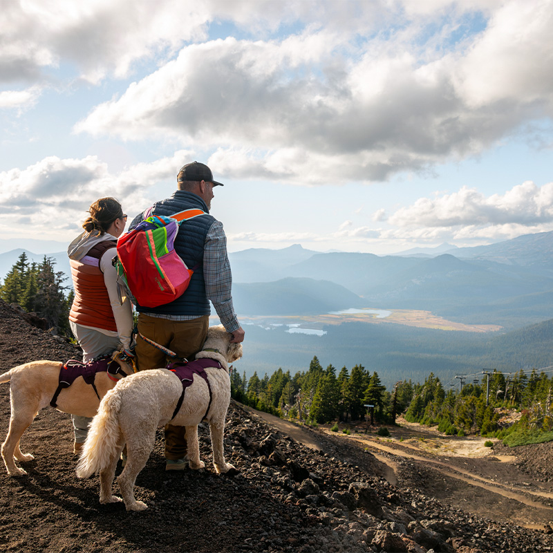
In the interest of full disclosure, I’ll confess that the last time I did a summertime hike to the peak of Mt. Bachelor, it was 2004.
But thanks to the recent development of all new summer trails—another Bend Sustainability Fund project—that’s changing this summer as soon as the snow melts. The newest development is an 11-mile complete hiking loop from West Village to the Summit and back again. The trail features interpretive information for hikers, plus plenty of signage and trail markers pointing the way.
I probably don’t have to tell you the views from up here will be some of the nicest you’ll find anywhere in Central Oregon, right? Or how cool it is to have access to a Cascade mountain hike like this with no permits required.
Learn more about summer hiking at Mt. Bachelor here, and more about Bend Sustainability Fund projects here.
Happy hiking, everyone! Now get out there and explore something new.
December 26, 2023
10 minute read
November 17, 2023
5 minute read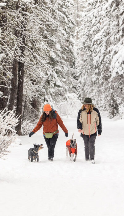
November 9, 2023
9 minute read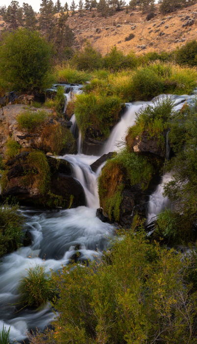
September 21, 2023
12 minute read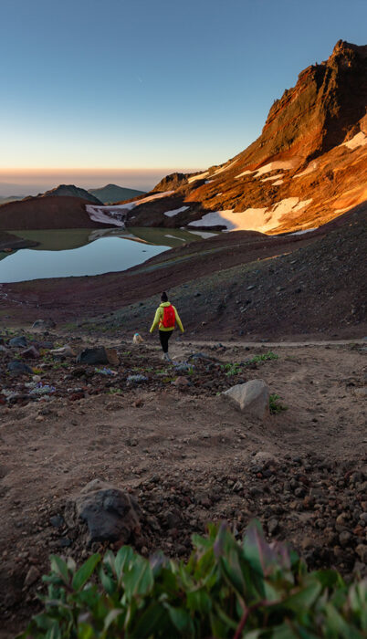
September 12, 2023
13 minute read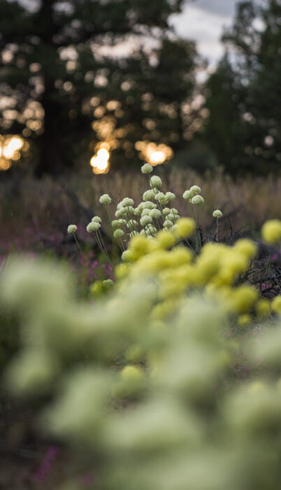
September 8, 2023
6 minute read